In the English language, the words ‘routes’ and ‘roots’ are often confused, misspelt or misinterpreted. Rarely do we need to use both at the same time during conversation, but in the case of Automatic Identification Systems (AIS), roots inform routes. With all the innovative uses of AIS, it is important to remember that the technology is fundamentally a safety measure. Its primary purpose is to identify and locate other nearby vessels in order to avoid collisions. The issue is that there are significant areas on the map that do not have adequate AIS coverage, and that needs to change.
Blank Spots
Areas of little to no AIS network coverage are of great concern to MarineTraffic. The attention around the recent MV Nyerere incident off the coast of Tanzania highlighted such a blank spot. While this was not a collision based incident, the event exposed the lack of AIS coverage on Lake Victoria which could prove to be fatal in the future if not addressed.
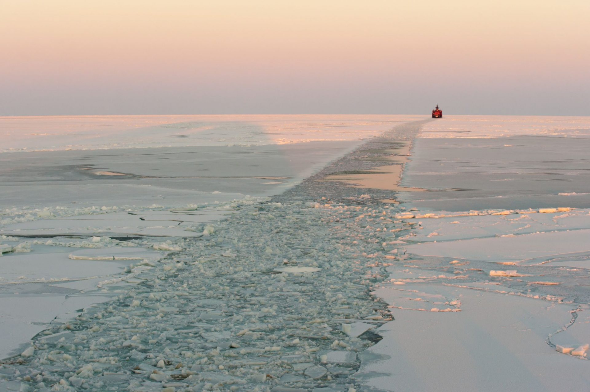
It is a similar story on the North Sea Route (NSR), where there are a limited number of AIS receiving stations. With more shipping companies now exploring the benefits of using the route, there is an urgent need for this region to be much more comprehensively networked to avoid possible catastrophes in this environmentally fragile part of the world.
MarineTraffic needs you!
To continue to protect those at sea and to safeguard the environment, MarineTraffic invites anyone interested in being involved in the MarineTraffic network to get in contact. You would be joining the world’s largest AIS-receiving network, actively contributing to expanding the coverage of the global reporting system and contributing to the efficiency and the transparency of the shipping industry.
The MarineTraffic AIS network is made up of over 3,000 shore-based manned receivers by enthusiasts who share a passion for ships and the maritime ecosystem. The AIS receiving stations that form the MarineTraffic network collect vessel data and share it with the MarineTraffic central database. All vessels equipped with an AIS transponder emit AIS-data which can be received by any AIS-receiving unit provided it is within range.
Data is gathered from these thousands of AIS volunteer stations in over 140 countries around the world. Information provided by AIS equipment on board of vessels, such as unique identification, position, course, and speed is then transferred to the central MarineTraffic servers.
Thanks to the extensive use of AIS, valuable vessel information and positional data can be electronically exchanged between AIS stations. The sophisticated nature of the MarineTraffic AIS network is increasing the safety of those at sea by providing fast, continuously updated data.

What is AIS?
The Automatic Identification System (AIS) that underpins the MarineTraffic platform is a VHF (very high frequency) radio tracking system. AIS regulation requires equipment to be fitted aboard all ships of 300 gross tonnage and upwards engaged on international voyages, cargo ships of 500 gross tonnage and upwards not engaged on international voyages, and all passenger ships irrespective of size.
The requirement became effective for all ships on 31 December 2004. The regulation requires that a vessels’ AIS shall provide information including the ship’s identity, type, position, course, speed, navigational status and other safety-related information automatically to appropriately equipped shore stations. Other vessels and aircraft also receive this information automatically from other AIS enabled ships, enabling all users to monitor and track ships with ease and accurately exchange vital data with shore-based facilities.
T-AIS and S-AIS
Terrestrial (T-AIS) is the AIS equipment aboard a ship, it broadcasts messages to AIS receivers on other ships and ashore (typically ports). T-AIS equipment can detect transmissions from up to 50 nautical miles and therefore provides effective ship-to-ship and coastal coverage. S-AIS systems use a network of satellite-based receivers to detect and collect AIS messages transmitted from ships. S-AIS are also effective for live and historical ship tracking.
If you are interested or if you want more information, including how you can apply for a free AIS-receiver, visit the MarineTraffic website and check out the Participate section at the bottom of the page.
