This blog post was updated on 7/6/2019
The Ancient Greeks ensured the safety of their vessels by making offerings to Poseidon, the god of the sea. Once a ship had left the harbour and passed over the horizon, there was little they could do but offer their prayers.
How times have changed.
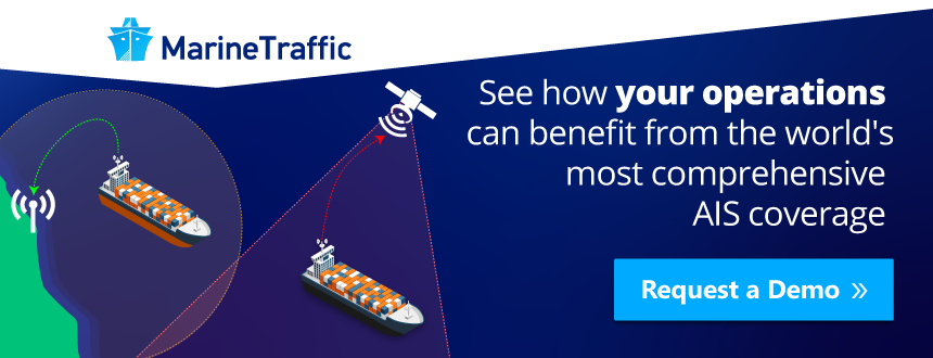
Thanks to the rapid evolution of AIS technology, we have the ability to track the position of every ship, anywhere on the ocean – in near real-time.
AIS technology has developed from a simple navigational and situational awareness tool designed to improve safety at sea to become the backbone of a global ship tracking network. Today, over half a million vessels use AIS to transmit their location, which is collected by a network of receivers deployed in over 140 countries and 40 million users track vessels annually through the MarineTraffic platform alone.
AIS no longer merely helps to protect sailors. As the network of receivers grows and methods of analysis become increasingly sophisticated, AIS data is able to provide ever-more accurate and valuable information to a variety of users; from helping maritime businesses increase efficiency to allowing financial analysts and hedge funds to monitor global commodity flows.
How could AIS technology benefit you? This blog post will bring you up to speed with the most important things you need to know about AIS and give you an insight into whether it is relevant to your needs.
1. What is AIS?
The Automatic Identification System (AIS) is comprised of small transponders fitted to shipping vessels worldwide, which use short wave VHF radio signals to broadcast each vessel’s position, unique International Maritime Organisation (IMO) identity number and other useful information. The transmissions can be received by any vessel, land station or satellite in range and fitted with an AIS receiver.
2. Who developed AIS and why?
Although it is not completely clear who it was behind the first AIS vessel tracking and identification system idea, various sources support that the inspiration of such a system dates back to 1965 and belongs to Benny Pettersson.
What is generally accepted is the fact that AIS was intended to help vessels see who is operating in the local area, prevent accidents, collision and marine disasters.
Sources support that the introduction of GPS (Global Positioning System) data for civilian use allowed GPS time and position data to be integrated with pre-existing VHF radio technology, giving rise to AIS. The US, the UK, Sweden and others had in the past started developing systems, some after the Exxon Valdez disaster in 1989, before the international standard we use today was agreed on by the IMO, and whose capabilities have since developed thanks to input from multiple actors.
The information broadcast by each vessel can be received by other vessels or land-based receivers within a line-of-sight range of just 20-30 miles. However, the development of satellite receivers allows for much greater coverage. Combining data from satellite and land-based receivers has enabled the creation of a worldwide network that can collect, share and interpret the information broadcast by each ship, to provide us with a real-time picture of global shipping traffic.
3. Do I need AIS on my vessel?
If you own a vessel over 300 gross tons or a passenger ship of any size, the IMO Convention for the Safety Of Life At Sea (SOLAS) Regulation V/19.2.4 requires that you operate AIS Class A onboard at all times – unless there are valid security reasons to turn it off, temporarily.
If you operate a smaller pleasure craft, you are not obliged to use AIS. But due to the low price of Class B AIS transponders and the fact that many countries require no license, boat owners often choose to install AIS voluntarily. They realise that increasing a vessel’s visibility at sea could end up saving your life.
4. Can I start picking up the AIS signals?
As AIS receivers do not require a license in most countries and the VHF signal is unencrypted, almost anybody can invest in a base station and begin monitoring shipping traffic within range.
If you live in an area with limited or no terrestrial coverage, the MarineTraffic network department can send you an AIS gathering station for free so you can start sharing vessel position information and become a member of the MarineTraffic Station Network community; as long as you have a reliable power supply, internet connection and a clear line of sight to the sea.
5. What is the range of AIS transmissions?
When they install a land-based receiver, the MarineTraffic network department considers a range of between 30-60 nautical miles as successful, while anything above 200 is exceptional. However, the all-time record for longest reception distance is 1024 nautical miles, held by station number 112 on the West Coast of America.
6. What does AIS actually tell us?
The Class A AIS transponders on each vessel broadcast three types of information: Static Information, such as the call sign and name of the vessel, IMO Number, type of ship, length and beam, and location of position-fixing antenna; Dynamic Information, automatically updated from connected ship sensors, such as the ship’s position, course over ground, speed over ground and navigational status, for example, at anchor, underway by engines or engaged in fishing; and, finally, Voyage Information, manually entered by the crew, such as the ship’s draught, destination and ETA and the nature of any hazardous cargo. AIS can also be used to send short safety-related text messages.
Related: Vessel details that can be changed in AIS transponders
7. Who uses AIS – and could it be useful to me?
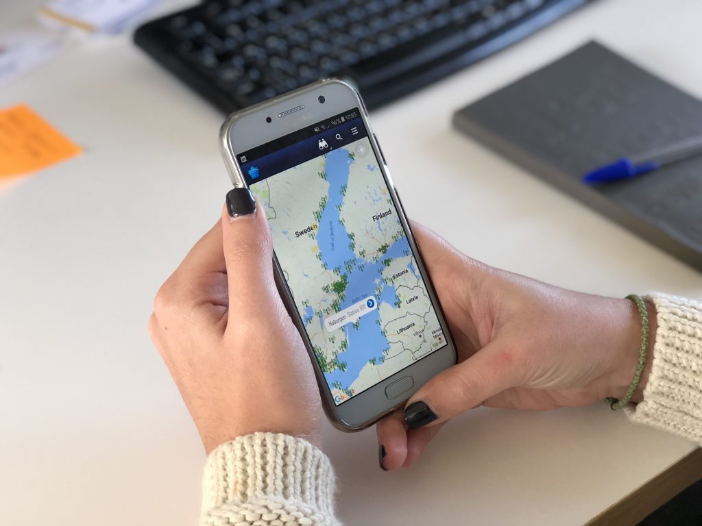
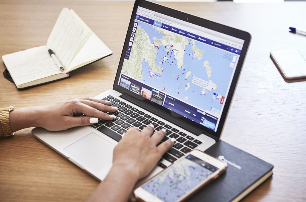
Sailors can use their AIS receivers to monitor all sea traffic within roughly 20 miles of their vessel. Ports, terminals and maritime authorities also use it to monitor traffic within their specific areas. But millions of users rely on maritime tracking intelligence providers, like MarineTraffic and its competitors, to provide them with a global picture. The combination of AIS data and mapping overlays allows vessel operators to monitor and manage their fleets, suppliers and service providers to find new business, and crew members to be tracked by family and friends.
Processed AIS data can provide insights and information to a wide range of maritime professionals, from analysts to insurers, researchers and regulatory bodies. Economists, financial analysts and traders are increasingly using this data to track changes and patterns in the global flow of commodities.
Related: Seven things you should consider when choosing an AIS provider. Discover them here.
AIS is already one of the most valuable sources of information for the maritime sector, but with increasing innovation in technologies such as machine learning and big data analysis, the value we can extract from AIS data and the breadth of useful functions we can find to employ it can only increase with time.