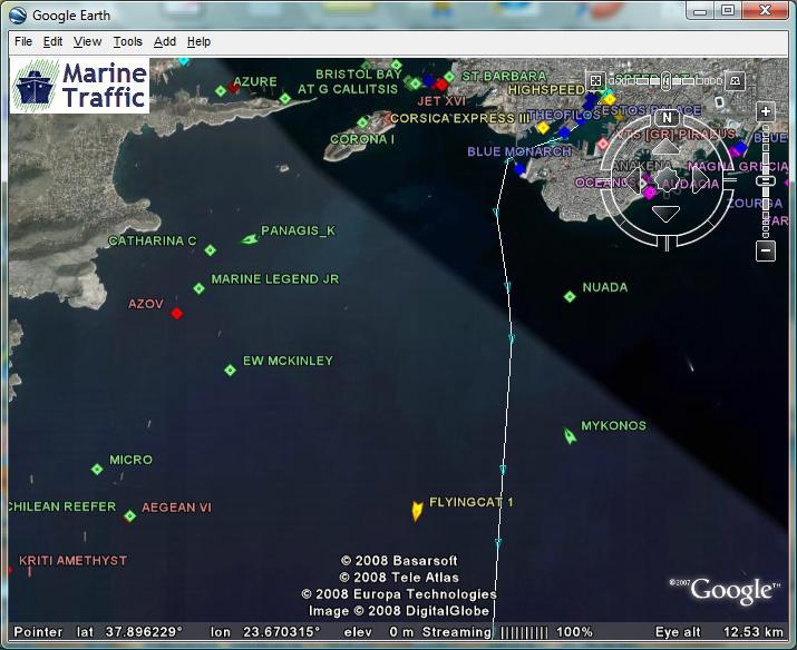
Real-time vessel positions on Google Earth

One more interface for MarineTraffic data
This feature has been deprecated as of January 2015Vessels' positions provided by MarineTraffic are also available in KML format, for use within the Google Earth application.
Google Earth is freely available for personal use and provides very detailed and efficient browsing of the world's satellite maps. With Google Earth is installed in your computer, you may also see the MarineTraffic vessels positions in near real-time and you can browse quickly the areas of interest, without the limitations of the web page maps. You can download Google Earth here.
![]() Download the
MarineTraffic KML file for Google Earth
Download the
MarineTraffic KML file for Google Earth
